Here’s your daily look at traffic on major highways in the Kansas City area.
This article is being continuously updated. You’ll find a running list of past incidents at the bottom of this story.
You can report issues or share your thoughts on this story format by filling out our feedback form.
Interstate 35
Current Incidents:
West 25 Street closed in Kansas City
The road is closed from West Pennway Street to I-35 North in Kansas City.
The event affects 330 feet.
The warning was issued at 12:48 p.m. on Tuesday, and the latest update about this incident was released on Thursday at 10:07 p.m.
Past Incidents in the last 12 hours:
A crash has been reported on northbound I-35
A crash has been reported on I-35 between Antioch Road/Exit 230 and I-635/Exit 231.
The impacted road section is 0.81 miles long.
The incident was reported Thursday at 5:44 p.m., and the latest update regarding this incident was made available on Thursday at 5:46 p.m.
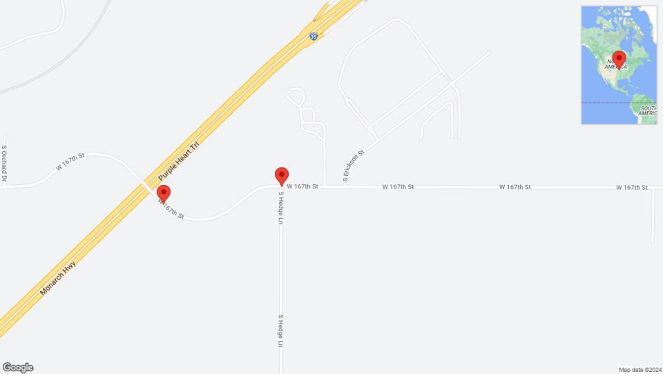
South Hedge Lane closed in Olathe
There is a road closure at South Hedge Lane and I-35 North.
The warning was issued at 12:46 p.m. on Thursday, and the most updated information about this incident was released on Thursday at 12:54 p.m.
West 167th Street closed in Gardner
There is a road closure on West 167th Street between I-35 North and South Hedge Lane.
The traffic alert was released Thursday at 12:46 p.m., and the last update regarding this incident was released on Thursday at 12:54 p.m.
Interstate 435
Current Incidents:
Kansas 5 closed in Kansas City
There is a road closure on Kansas 5 from Leavenworth Road to I-435 North.
The warning was issued at 8:42 p.m. on Thursday, and the most recent report regarding this incident was released on Thursday at 8:44 p.m.
Past Incidents in the last 12 hours:
There were no traffic incidents reported in this area for the past 12 hours.
Interstate 670
Current Incidents:
There are currently no traffic incidents reported in this area.
Past Incidents in the last 12 hours:
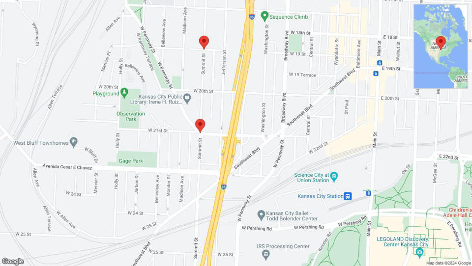
Kansas City: West 18th Street temporarily closed
The road is closed from I-670 East to West 20th Street in Kansas City.
The impacted road section is 660 feet long.
The warning was released on Thursday at 10:46 a.m., and the latest update about this incident was released on Thursday at 5:58 p.m.
Kansas City: Summit Street temporarily closed
There is a road closure on Summit Street between West Pennway Street / West 21st St and I-670 East.
The incident report was issued Thursday at 10:34 a.m., and the most recent report regarding this incident was released on Thursday at 1:29 p.m.
Walnut Street temporarily closed in Kansas City
There is a road closure on Walnut Street from East 18th Street to I-670 East.
The impacted road section is 610 feet long.
The traffic alert was issued Thursday at 12:43 p.m., and the latest update regarding this incident was made available on Thursday at 12:48 p.m.
U.S. 24
Current Incidents:
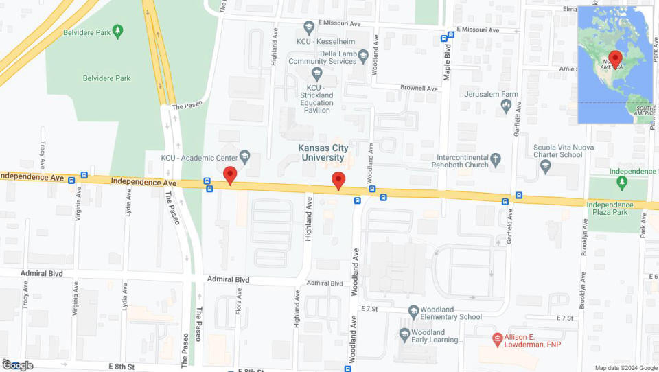
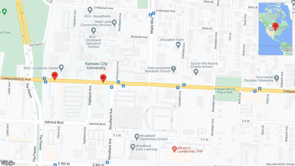
Independence Avenue/US-24 temporarily closed in Kansas City
There is a road closure on Independence Avenue/US-24 between Paseo Boulevard/The Paseo and Prospect Avenue.
The event impacts 620 feet.
The incident was reported Saturday at 7:39 a.m., and the most updated information about this incident was released on Thursday at 7:34 p.m.
Past Incidents in the last 12 hours:
Independence Avenue/US-24 temporarily closed in Kansas City
There is a road closure on Independence Avenue/US-24 between Prospect Avenue and Paseo Boulevard/The Paseo.
The event affects 620 feet.
The traffic alert was released Monday at 10:56 p.m., and the most recent report regarding this incident was released on Thursday at 4:10 p.m.
U.S. 69
Current Incidents:
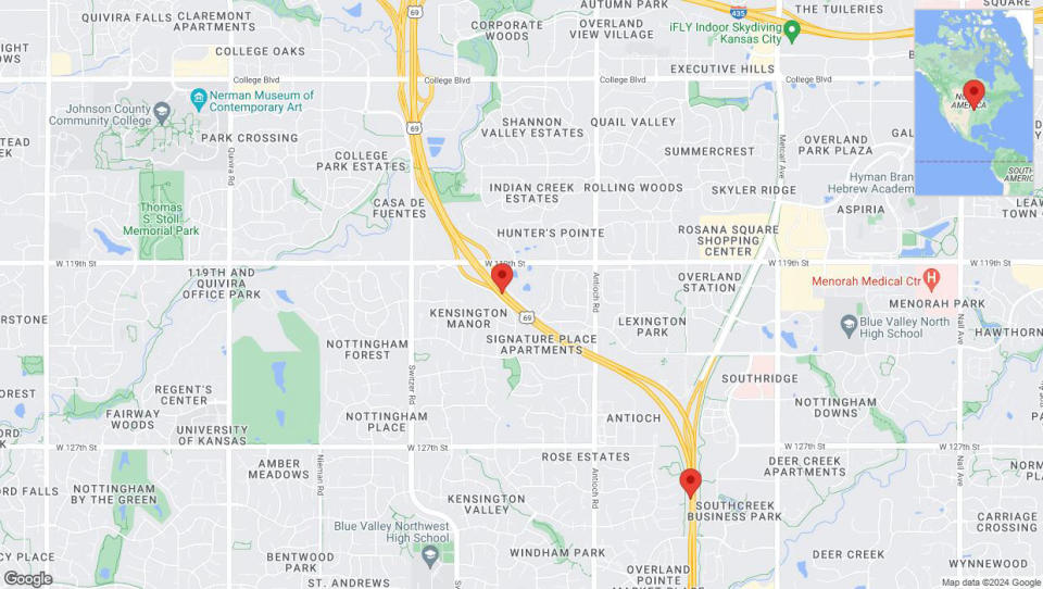
US-69 temporarily closed in Overland Park
The road is closed between College Boulevard and Blue Valley Parkway in Overland Park.
The event impacts 2.81 miles.
The traffic alert was released Thursday at 4:36 a.m., and the latest update about this incident was released on Thursday at 9:14 p.m.
US-69 closed in Overland Park
The road is closed from 119th Street to Blue Valley Parkway in Overland Park.
The event impacts 1.62 miles.
The warning was released on Thursday at 4:36 a.m., and the latest update about this incident was released on Thursday at 7:45 p.m.
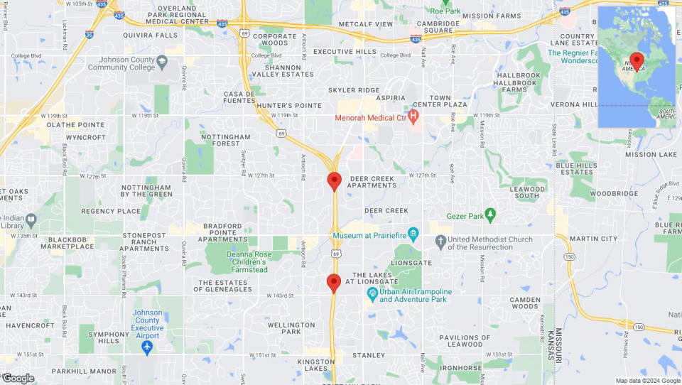
Lane on US-69 closed in Overland Park
One lane is closed between Blue Valley Parkway and 151st Street on southbound US-69.
The impacted road section is 1.70 miles long.
The warning was released on Wednesday at 7 a.m., and the most recent report regarding this incident was released on Thursday at 7:45 p.m.
Past Incidents in the last 12 hours:
There were no traffic incidents reported in this area for the past 12 hours.
This article was generated by the Kansas City Star Bot, artificial intelligence software that analyzes structured information from TomTom and applies it to templates created by journalists in the newsroom. We are experimenting with this and other new ways of providing more useful content to our readers and subscribers. You can report errors or share your thoughts by filling out our feedback form.


